|
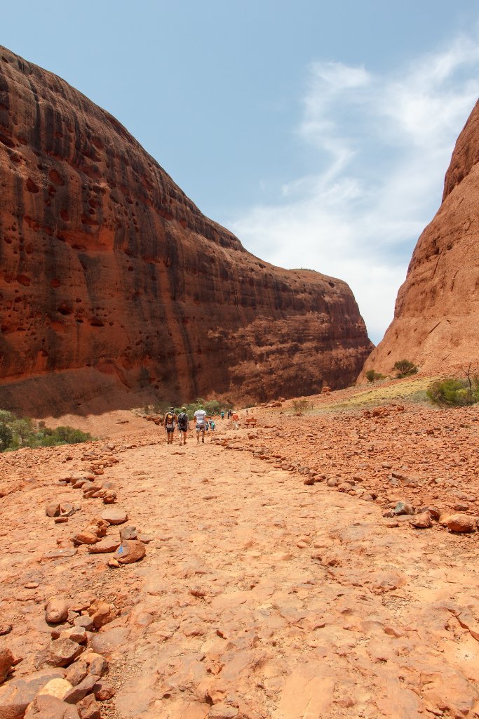 |
| 16-Kata Tjuta NP | |
| Latitude: S 25°18'1,46" | Longitude: E 130°43'40,74" | Altitude: 612 metres | Location: Yulara | State/Province: Northern Territory | Country: Australia | Copyright: Ron Harkink | See map | |
| Total images: 19 | Help | |
|
|
|
| 16-Kata Tjuta NP | |
| Latitude: S 25°18'1,46" | Longitude: E 130°43'40,74" | Altitude: 612 metres | Location: Yulara | State/Province: Northern Territory | Country: Australia | Copyright: Ron Harkink | See map | |
| Total images: 19 | Help | |